
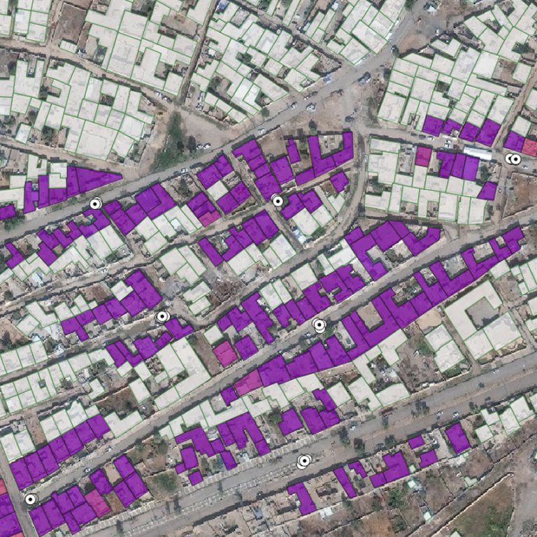
Population estimation, destroyed buildings, and land use classification
A python library for the analysis of for High Frequency Mobility Data to support disaster response and infrastructural change
Urban Digital Twin model for the visualisation, navigation and exploration of multiple information layers on cities in space and time.
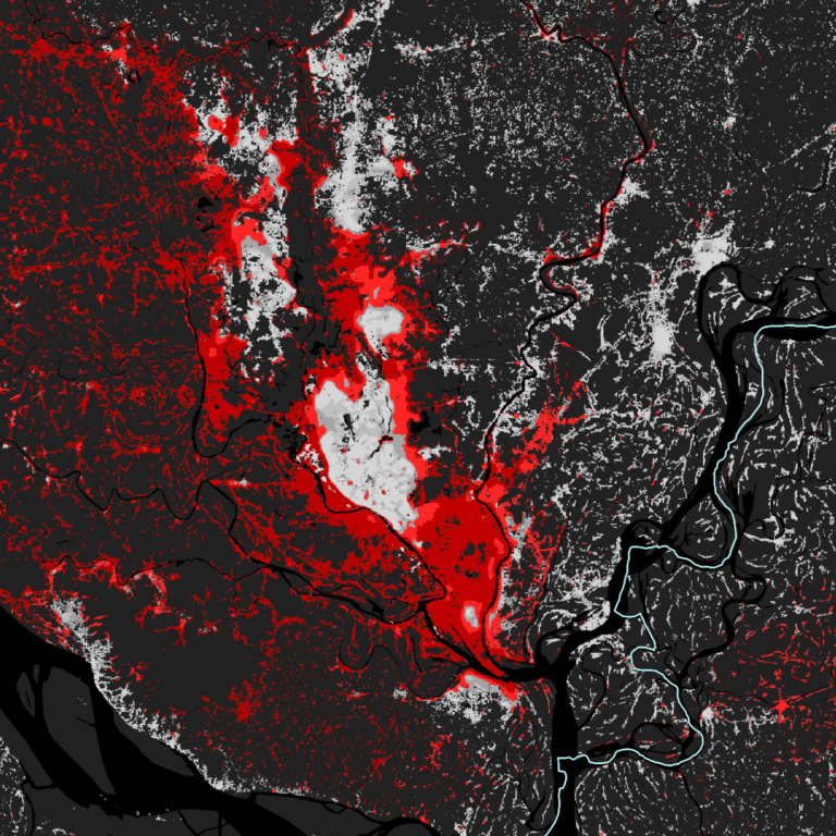
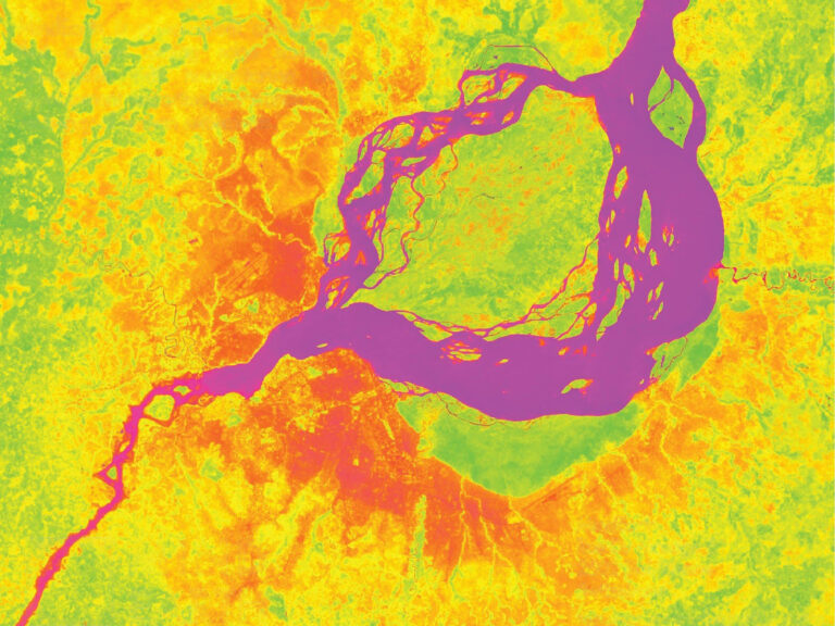
Mapping the relationship between urbanization and exposure to flood at a global scale between 1985 and 2015
Population estimation, destroyed buildings, and land use classification
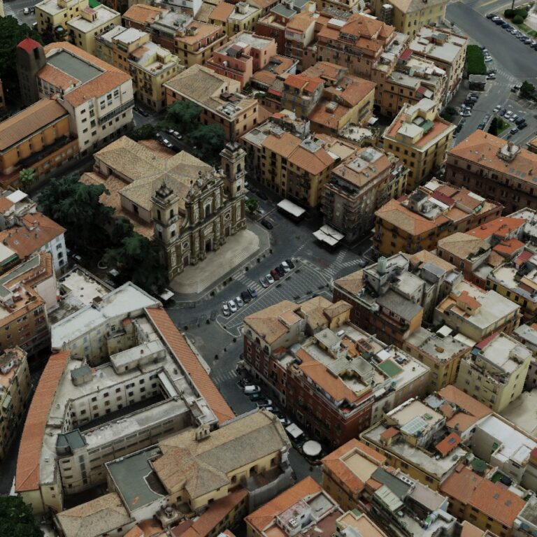
Flood exposure and vulnerability mapping using street level image automatic acquisition and machine learning
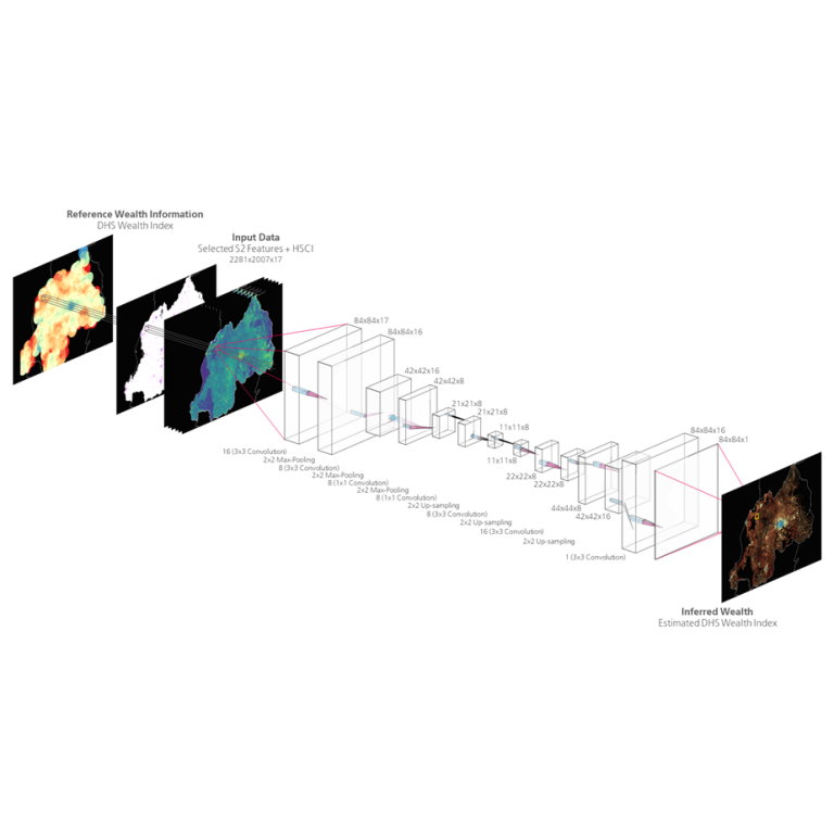
Advanced deep-learning for the estimation of spatial wealth through Copernicus Sentinel data and sparse in-situ survey data.
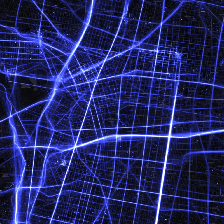
A python library for the analysis of for High Frequency Mobility Data to support disaster response and infrastructural change
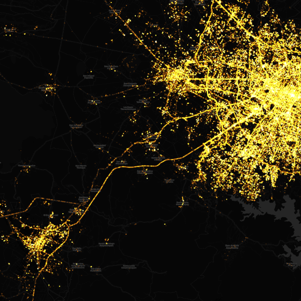
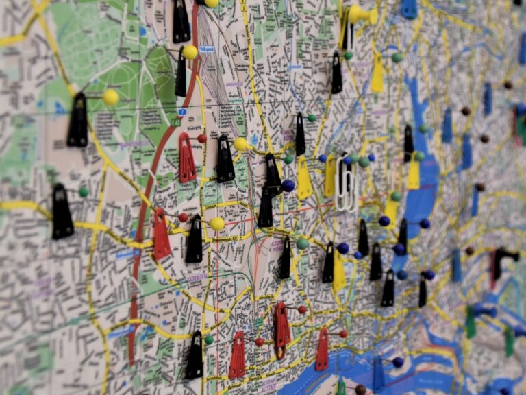
Mapping human behaviour before and after natural disasters using High-Frequency Location-Based data
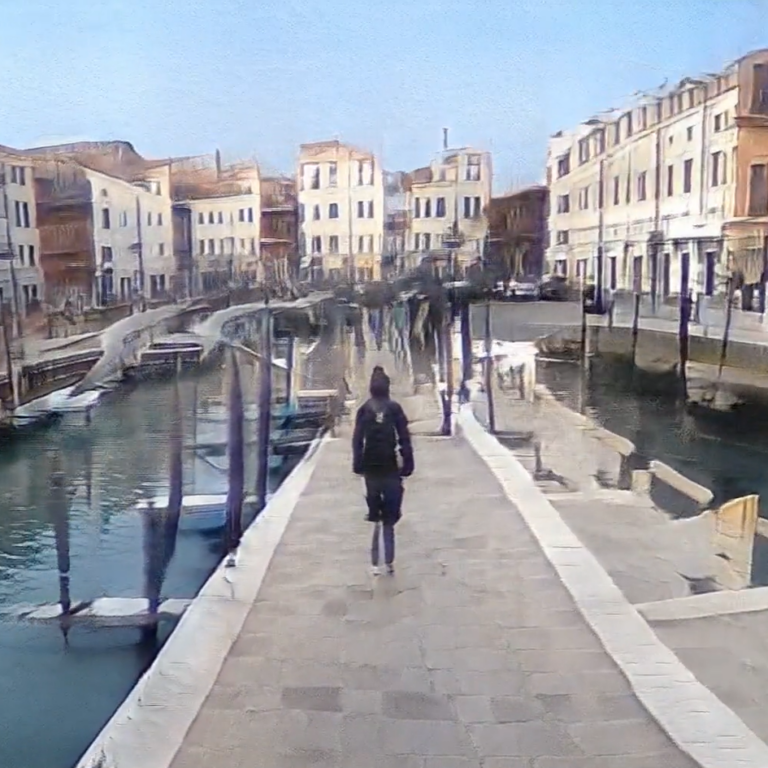
An immersive A.I. Art experiment between poetry and photography for the Italian Pavilion at the XVII Venice Architecture Biennale.